Thunderstorm Potential Thursday
It's a beautiful start out there this morning but another round of unsettled weather is on the way for later on today. A bundle of upper level energy will push through the region from northwest to southeast this afternoon. Even though our high temperatures will hold in the mid to upper 70s today with relatively low dewpoints – there is anomalously cold air aloft which creates instability in the atmosphere.
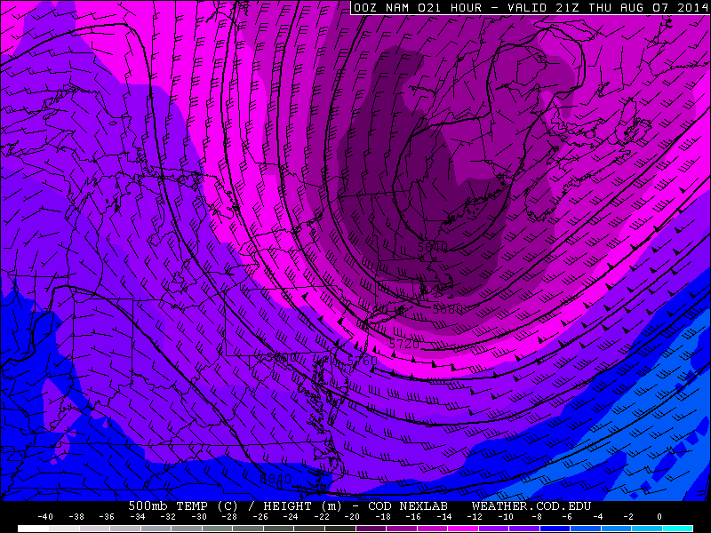
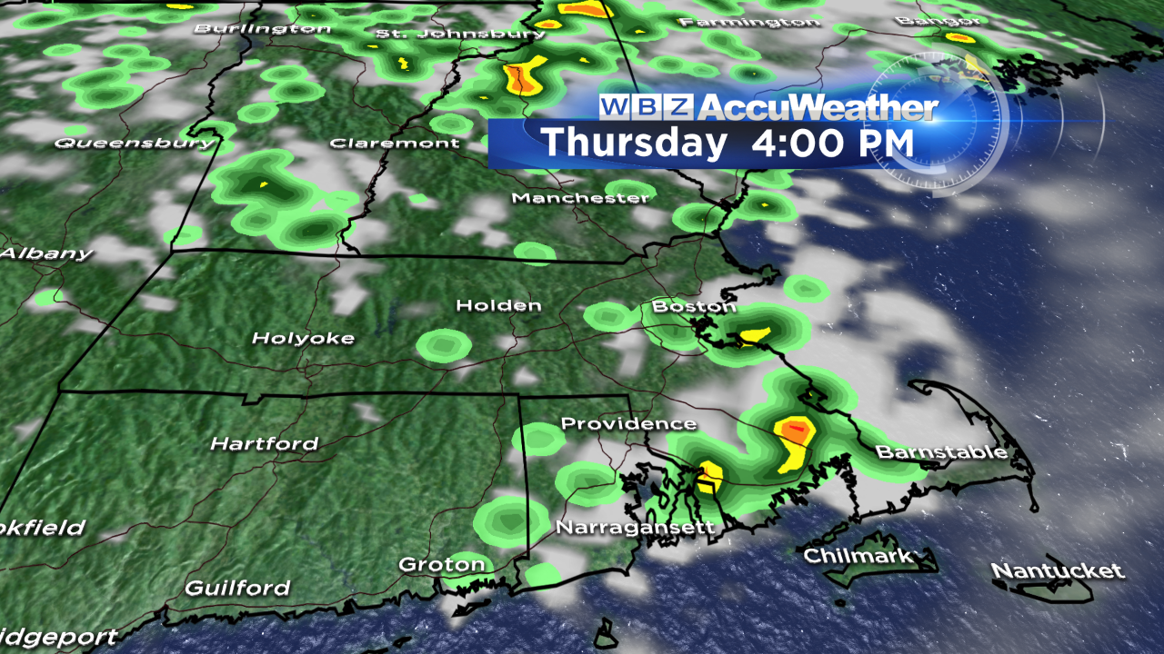
While I'm not expecting widespread damaging storms, a few could certainly become strong to severe during the late afternoon and early evening, especially over the southeast part of the Bay State. The biggest threats in today's batch of thunderstorms will be hail and brief but strong wind gusts (40+ mph). Obviously in any storms that crop up, torrential downpours and lightning are likely too.
In terms of timing, clouds build in as early as late morning with the first showers/downpours cropping up around midday. More scattered activity is likely between 3-8 PM. Once the sun sets (7:56 PM) any leftover storms should weaken and come to an end.
After today, we have a spectacular stretch of weather setting up as high pressure builds across the Northeast through the weekend; expect dry conditions, lots of sunshine, seasonably warm days, comfortable nights and seabreezes at the coast. We know these types of days are numbered in New England, so let's all get outside and take advantage while we can!

-Danielle