Rain Chances...
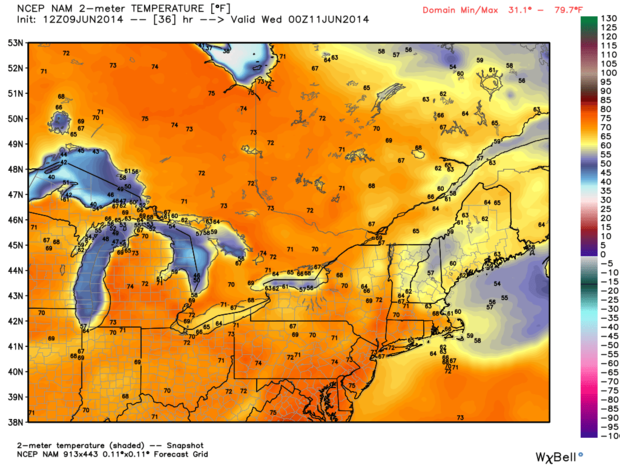
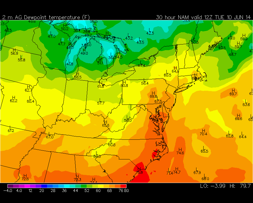
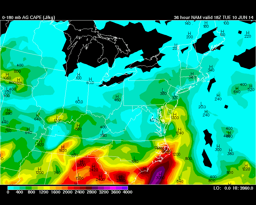
After a glorious weekend with back to back 80+ degree days, the weather is going to become somewhat unsettled as very muggy air flows into New England over the next 24 hours. While it was very warm over the weekend the air was still relatively dry but humidity will start rising with southerly flow. By tomorrow morning dewpoints, a measure of the moisture in the air, will begin to spike...settling in the mid 60s tomorrow morning. The rise in moisture, increases the atmospheric instability and therefore energy to generate downpours or thunderstorms. It appears that the moisture and instability will max out tomorrow morning at which point I'm expecting numerous showers and potential storms to slow you on the roads during the morning commute. The shower and storm threat, while still existent, will diminish tomorrow afternoon as a backdoor cold front works down the coast from the north escorting in cooler and more stable air for the middle of the week.