The 70s Are Coming!
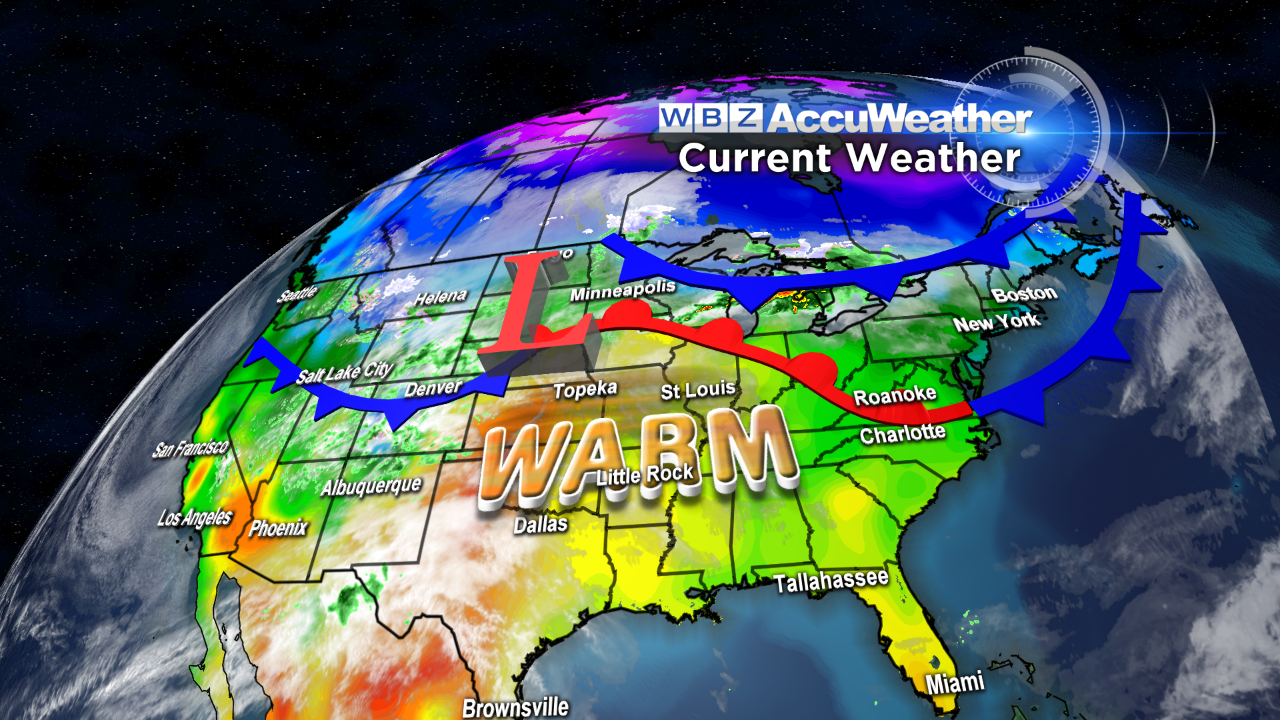 After last evening's rainfall, we ended up with a stellar Saturday with sunshine sending temperatures close to 70 degrees. At 3:59 pm, Boston's high of the day was recorded at 69 degrees which matches yesterday's 69 for the warmest so far this year. It actually has been 163 days since the temperature reached 70 in Boston and that was on November 1st at 72 degrees. There is a shot that it could strike 70 or so later tomorrow afternoon with the passage of a warm frontal boundary but it will definitely exceed 70 on Monday in the city under brilliant sunshine. The highest readings then will occur northwest of Boston from western Essex County through Middlesex County north and west. Some of the towns in that area will bask in 75-79 degrees. Meantime, it will be progressively cooler the farther south of Boston you might be located as the strong south-southwesterly wind streaming up from the cold Atlantic Ocean to the south chills the air. Expect mostly 60s in Bristol County and Plymouth County dropping into the 50s closer to the South Coast. Most of Cape Cod will not go above 60 and it may only touch 50 at Nantucket. Backing up a bit, a cold frontal boundary will settle into northern New England tonight from southern Canada. This means that it may be significantly colder tomorrow especially over ME, central and northern NH and northern VT tomorrow. A disturbance arriving from the Great Lakes will likely trigger some wet weather up there with a slight risk that a few spotty showers may be dotted over mainly northern MA tomorrow morning. As the frontal boundary reverses course and turns into warm frontal boundary, it may turn sunnier and warmer in the afternoon over southern New England but the freshening southerly wind will keep it in the 50s over Cape Cod and along the rest of the South Coast.
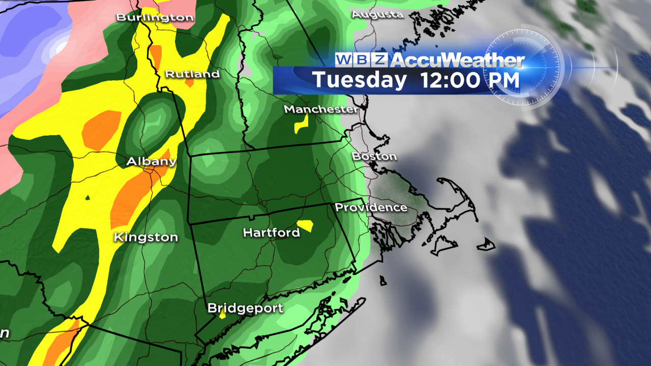 Looking ahead, a cold front that will probably produce some scattered severe weather in parts of the central United States tomorrow and Monday will be arriving in New England on Tuesday. The air will be more humid at that time and the stage is set for a solid ribbon of rain with embedded downpours and possible thunder from west to east during the day. Following the frontal passage, the air will turn sharply colder so expect diving temperatures from the 60s to the upper 40s with the chill destined to reach Boston by late afternoon. The belt of wet weather will be pushed out to sea by approaching high pressure so we can count on the return of sunshine on Wednesday with 2 more sunny days to follow. This zone of high pressure will ridge over the Northeast and provide cool conditions for the second half of the week. So temperatures which may be near 20 degrees above the average on Monday will be closer to 7-10 degrees below the average on Wednesday and Thursday. Inland areas will become a bit milder on Thursday afternoon and Friday but the coast will be still chilled by sea breezes. After that, a storm rolling up the eastern seaboard will provide another rainy spell next Saturday. Not to fear, there will not be any snow with this one!
Going way out on a limb, my present long-range outlook for the Boston Marathon calls for mainly sunny weather with temperatures starting out in the 40s at 7am and rising to near 60 for the afternoon highs.
Enjoy the rest of the weekend!