March Madness?
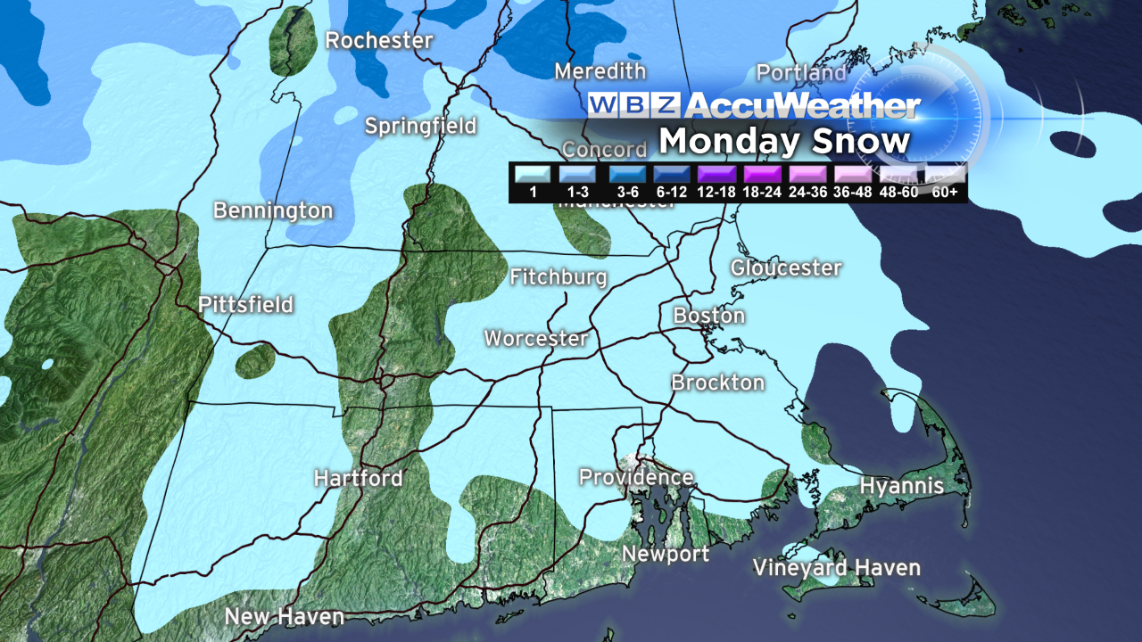 Today was the shortest day of the year at only 23 hours thanks to the return of daylight saving time officially at 2am. This spring forward ritual makes us feel good with the extra daylight shifting into the evening hours. It was definitely nice to see the sunset at 6:44 pm. Flip side, of course, is that it will be darker for early risers going to work and school in the morning. Tomorrow's sunrise is 7:05. So I hope that you enjoyed this somewhat abbreviated weekend that featured a pleasant break following the past two weeks of almost continuous subfreezing weather. Following the 50s of yesterday, today's temperatures maxed out in the lower 40s with sparkling sunshine. Looking ahead, be prepared for drastic changes in this usual fickle month of the year. Lower 40s will be repeated tomorrow despite the presence of snow showers from place to place mainly during the morning commute. I am anticipating nothing more than a coating up to a perhaps a half-inch in isolated locations. A frontal boundary will be elongating into the New England area but with some slight drying in the afternoon, some breaks of sunshine cannot be ruled out. After that, a rush of milder air will flow in from the southwest and warm the region into the upper 40s to almost the middle 50s on Tuesday amidst varying amounts of clouds and sunshine.
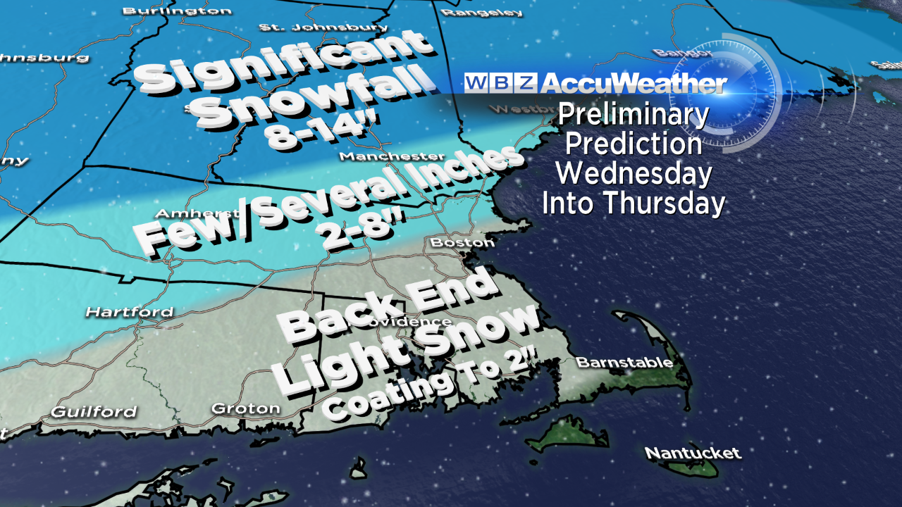 A storm entering the Tennessee Valley late Tuesday and early Wednesday will shove a shield of precipitation into New England during Wednesday. Presently, the predicted path seems to be locking into an axis that would deliver rain over most of southern New England. There could be some mixing across northern MA into the Seacoast Region of NH with primarily snow north of that. There is very little change in the scenario from what I posted in my blog of last evening. It appears that northern New England will receive a substantial snowfall in the range of 8-14" with perhaps some higher totals in favorable upslope mountain locations. This is super news for us winter sports enthusiasts who want to enjoy a few more weeks of skiing, snowboarding, snowshoeing and snowmobiling. As the center of the storm crosses over the lower Cape Cod area Wednesday night, colder air will circulate around the departing system leading to a switch to snow from northwest to southeast. Currently, it doesn't look like a significant backlashing of snow so I am expecting a few to several inches across only northern MA ranging down to 2-4" along the MA Pike to just north and west of Boston with 2" or so in the city ranging down to an inch to a coating going father south toward the South Coast and perhaps parts of Cape Cod. In the wake of the intensifying storm crossing the Gulf of ME, strong winds of 25-45 mph will blow from the northwest on Thursday when the sky could reveal some splashes of sunshine in the afternoon after the morning snow showers diminish. It will be a blustery and very cold period again on Thursday with highs in the middle to upper 20s, then down to the single numbers to lower teens Thursday night and recovering to the middle 30s on Friday when it is completely sunny again.
Subbing for Todd Gutner, Danielle Niles will post her thoughts in the morning.
Make it a great week.

