Few Flakes & Cold Before The 'Warm-up'
Find Eric Fisher on Twitter and Facebook
Hello all! If you're a frequent reader of the blog, you may have noticed an absence over the past few days. I retreated to Florida for a couple of days with my wife to take a little break from all the storm coverage and cold New England air. Didn't post any photos to social media for fear of threats or retribution :-) I have to say, there were a lot of Red Sox hats around in the Keys. Pretty much everyone we ran into was from the Northeast, trying to escape our cold and somewhat relentless winter. The resort owners and fishermen said it was one of the busiest seasons they've seen in a long time as Americans migrated to a warmer climate for a bit to thaw out. And a lot of them were 'last minute' bookers...the type who said 'I can't take it anymore, I'm out!' Needless to say there was some sighing and grimacing on the flight home.
And upon return? More cold! What a shocker. But we're checking off days at this point. As we work our way through the March calendar daylight will increase and temperatures will eventually rise. And if you're one of those 'bring on more winter' types, you can't complain too much. Worcester is now in 9th place for snowiest U.S. city (see the standings here), and temperatures were below average for December, January and February for the first time in over 10 years. March is off to a frigid start, so you've probably gotten your fill by now. The truly bitter stuff is slowly starting to run out of gas.
For Wednesday a weak boundary will slowly sag and then wash out across Southern New England. Not much lift or moisture to work with, but we should see quite a bit of cloud cover and scattered snow showers throughout the day. The most prevalent of those snowflakes should be in the Berkshires, Worcester Hills, Southern VT, and the Monadnock region where the hills squeeze out a little more moisture. A coating to an inch or so may fall across the area.
I'm actually a little more interested in the prospect of ocean-effect snow, which should start to kick in during the afternoon/evening as winds back to NE and then N. The air at 850mb is an extremely cold (for this time of year) -16C, and will be traveling over the relatively warmer ocean water. So we should see several decent bands form, and bring a coating to an inch or two. The area I'm thinking will do best is the South Shore, Plymouth County, and during the evening/night over Cape Cod & the Islands. It'll be cold enough to make roads slick in spots, so travel safely - especially as the sun goes down. Highs again stay well below average in the 20s to low 30s.
Ocean-effect snow showers may linger well into the night, and clouds may persist across far SE Mass well into Thursday due to the NE flow. For the interior, brighter skies but cold temperatures should prevail on Thursday as high pressure moves overhead and mixing looks pretty limited. Lots of 20s/low 30s again.
For our finally Friday forecast, that high pressure should be at work shielding us from a storm off the SE U.S. coast. It'll come close enough to keep an eye on over the next 48 hours, but for now is expected to stay away from our shores. What we'll end up with is some cloudiness veiling the sun, especially for the South Coast and Cape/Islands. Many interior locations should top freezing..lucky us! That should end in a streak in Boston from Sunday evening through Friday afternoon below 32º.
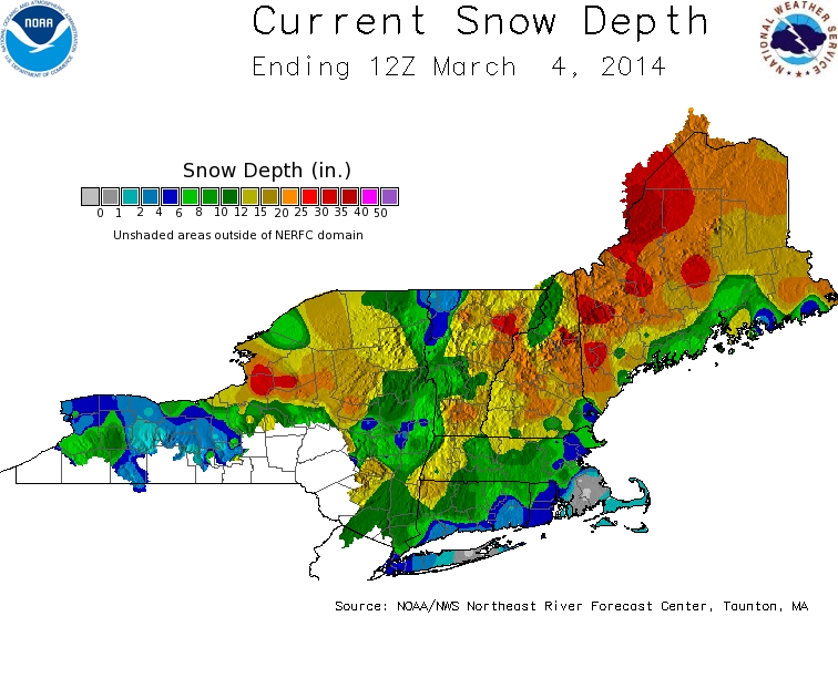
Weekend looks fine and dandy right now. Milder air aloft helps us get well into the 40s on Saturday. Great news for anyone fitting in a long run for their Boston Marathon training! Some clouds, perhaps a few snow showers will move through Saturday night, before we see a seasonable Sunday with highs again near 40. And even into next week, highs should be in the upper 30s to low 40s. It's not exactly balmy, but hey at least it's CLOSE to average and should feel better with our increasing sun angle and length of daylight. In fact, Daylight Saving Time kicks off when most of us sleep early Sunday morning. Twilight will linger past 7pm on Sunday night. Yes we lose an hour of sleep, but I doubt many will complain! And we don't want it to warm up too quickly...there's still a lot of snow out there and a gradual melt is always preferable.
Source: NOAA