Strong Wind May Cause Isolated Outages Sunday
Yesterday's round of wild weather brought rain, wind and thunder to southern New England…along with unseasonably mild air! Our January thaw continues today as we dry out across the region. Temperatures will drop a few degrees over the course of the morning before rebounding a bit later on today. Expect afternoon temps to be in the mid 40s, on average. It will feel colder than that though thanks to a strong west wind today.
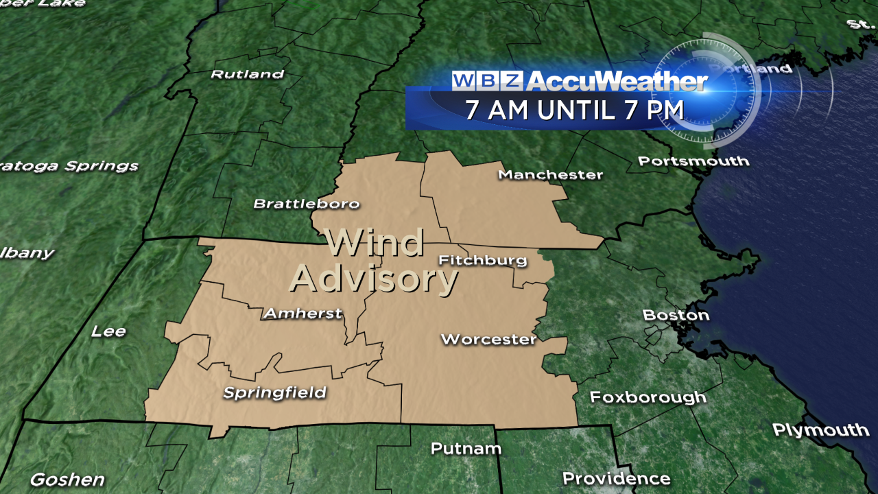
In fact, the wind will gust to 40 mph through the day, perhaps as high as 45 mph in spots. This is strong enough that a few isolated outages may result, and weakened tree limbs and branches may come down. A wind advisory has been posted for some of us (see below). The wind will diminish tonight and with mostly clear skies overhead, we'll dip back to either side of 30.
Tomorrow a south-southwest wind (10-20 mph) boosts us right back into the 40s…with some communities touching 50! Tuesday will be above average too (in the upper 40s) but there will be a round of wet weather to contend with. There is a bit of uncertainty as to how quickly a cold front coming in from the west and moisture from the Gulf will link up. At this point, I'd plan on scattered rain showers - which could be a period of steadier rain from morning into the afternoon, if everything comes together. Behind this front, another quick moving disturbance may bring some rain/snow showers Wednesday before cooler air arrives for the end of the week.
Also, it's worth mentioning that the last two weeks of January will feature an active jetstream pattern with numerous storm threats.
Danielle