Running Out Of October
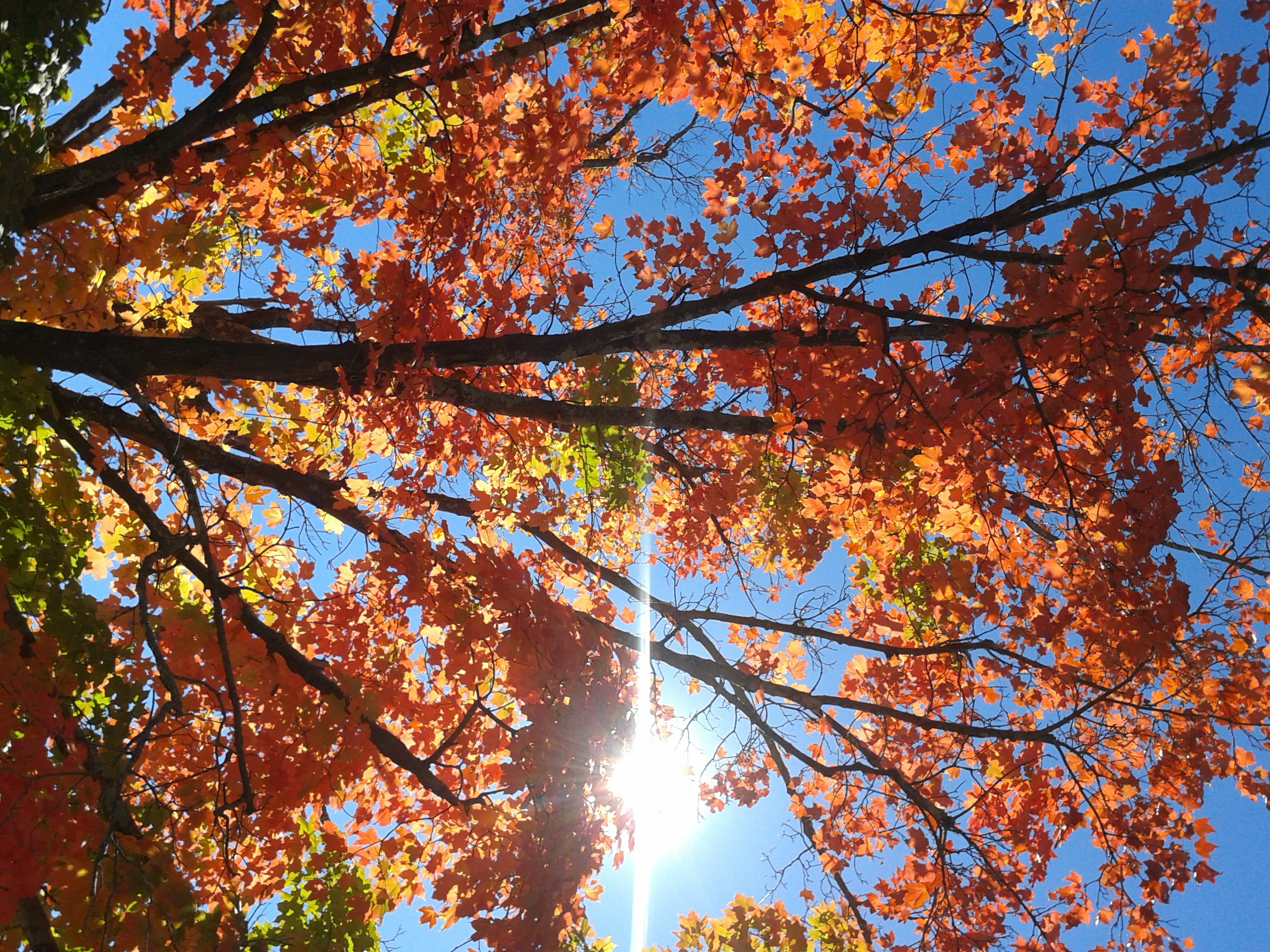 As much as I really love snow and winter sports, I always become somewhat depressed when October comes to an end. Do you? It is one of my favorite months of the year mainly due to the wonderful fall foliage colors, football and the crisp autumnal air. Overall, this October has been especially nice with 1 day in the 80s, 6 in the 70s, 15 in the 60s and the last 5 days in the 50s. The mean temperature for October will end up slightly under 4 degrees above average. Already many trees are naked as their leaves litter the ground. Sadly, my favorite spectacular sugar maple on the corner of my driveway is shedding its final vibrant leaves as the month concludes this week. It's a downer to see the end of the growing season and the disappearance of the beautiful flowers. Enter my least favorite month namely November. It is generally the gloomiest month of the year as the oak trees become bare and the number of cloudier, gray days increases. To make matters worse, there is a loss of 59 minutes of daylight during the month and we turn the clocks back one hour next weekend so sunset will occur at 4:35 pm next Sunday. UGH! It is the transitional month from the beautiful late summer and early fall to the snowy, cold months of winter. With my love of winter sports like alpine and Nordic skiing, skating and snow shoeing, I would dread winter and snow shoveling like many do. Instead, I learned decades ago to embrace it.
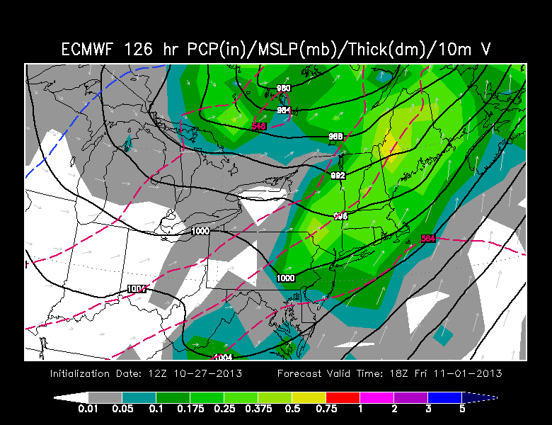 On these final four days of October, there will be no weather worries as the sky features varying amounts of clouds and sunshine tomorrow. The next cold front will be passing across the region during the afternoon with just a remote risk of a brief shower in a few locations. Temperatures will spike to the upper 50s from morning mins in the upper 30s to near 40. A zone of high pressure will build into the Northeast on Tuesday with ample bright sunshine and colder air with highs near 50 degrees. There is a slight risk that a plume of high and mid-level clouds might swiftly stream eastward into New England on Wednesday as temperatures climb into the lower 50s. After that, as the high pressure system shifts off the Northeast coast, a surge of warmer air will be approaching from the Midwest. A warm frontal boundary growing into NY and New England could cause a spell of showers on Thursday afternoon. This reflects a change from yesterday's prediction and that is disappointing because there is now a much higher risk that there will be some wet weather for the Halloween trick or treaters. In any event, the warmer air rushes in here so after near 60 degrees on Halloween, it could spike to the upper 60s on Friday, November 1 despite showery rains and gusty south-southwesterly winds to 20-40 mph. Since the rain is accelerating into the region thereby arriving earlier, a quicker departure is certainly possible late Friday night or early Saturday morning. It will still be mild with highs near or just over 60 on Saturday followed by windy and colder weather closer to 50 degrees on Sunday.
Todd Gutner will provide his post tomorrow morning and Eric Fisher follows later in the day.
 Make it a great week!