Summer Slips Away
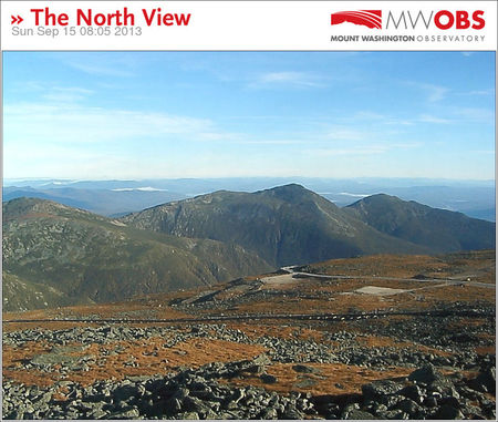 This last week of summer will not contain any sizzling summery weather like last week. Instead, the temperatures will be more typical for the third week of September. We're starting off on the cool side this morning with many mins in the 40s but the recovery will be robust yielding afternoon highs of 72-75. Expect a repetition of this trend in the week ahead. There will be some nippy nights but pleasantly mild days as well in the upcoming days. Two sprawling zones of high pressure will be the main controllers of our weather. The first one is providing excellent visibility this morning from the summits to the seashore. Check out this stunning picture from the Mount Washington Observatory. Yes, it is indeed a great mountain climbing and hiking day and we'll have at least two more of these this week if you can somehow fit it into your schedule to enjoy the peaks of New England. Tuesday and Wednesday will deliver perfectly clear days in the mountains as the second high pressure system arrives from central Canada. It will chill the region on Tuesday with temperatures almost 10 degrees below the average for this time of the year. There will likely be a more widespread frost across much of northern New England extending down into lowland parts of southern New England especially Tuesday night. Once the center of the giant high pressure area shifts to the Mid-Atlantic region, milder air will return on a southwesterly breeze starting Wednesday afternoon and continuing the rest of the week when middle to a few upper 70s will be reached.
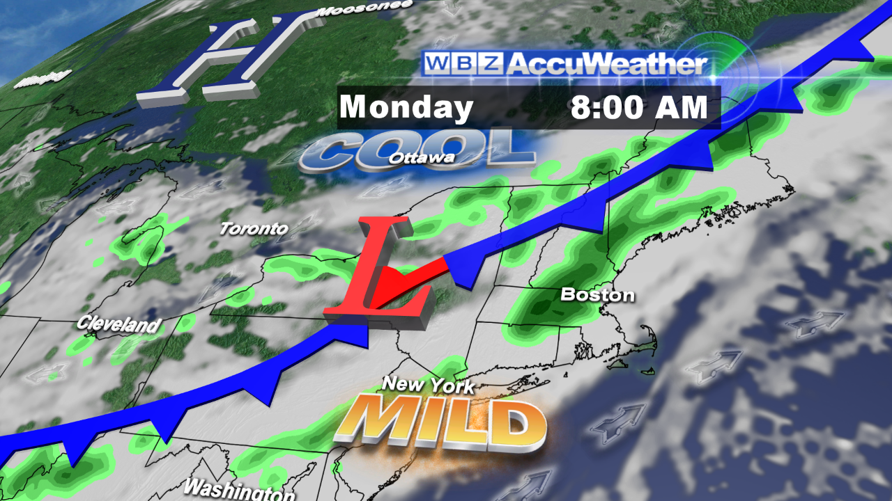 There will not be a repeat of last week's torrential rains which flooded portions of New England especially southern New Hampshire. Nevertheless, expect a few spotty showers tomorrow as a cold front dips southeastward through the region. More widespread showery conditions are slated for late Friday and much of Saturday as a more energetic frontal boundary and upper level trough of low pressure penetrate the area from the west. The newest guidance is indicating that the wet weather will not linger into Sunday which is a change from yesterday's data. It is still to premature to be highly confident of the precise timing of the rain termination next weekend. Some of the rain on Saturday could be heavy at times but will not match the magnitude of the 3 to 6 inches that fell in places last week.
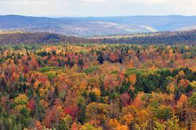 With the autumnal equinox occurring at 4:44 pm next Sunday, the fall foliage extravaganza will be commencing soon. We'll be monitoring leaf-peeping sites and gathering reports from our spotters to pass along to you in the weeks ahead.
The weather will be cooperative for at least the next 4 Red Sox home games at Fenway Park. Tonight's late 8:05 pm contest with the Yankees will be under a partly cloudy sky and temperatures in the upper to middle 60s. When the team takes on the Orioles at 7:10 pm on the 17th, 18th and 19th, it will be the coolest on Tuesday evening in the 50s then a bit warmer the two subsequent evenings under a mostly clear sky. With amazing win #91 last evening, what do you think will be the final total wins for the regular season? What a difference a year makes!
Joe Joyce will post his blog this evening and Todd Gutner is on duty early tomorrow morning.
Enjoy your Sunday!