Typical Temperatures Ahead
After some massive moves in temperatures this week, more typical temperatures are coming in the week ahead. In Boston, this past Wednesday was the second hottest day of the entire summer but the 97 degrees did not beat the record for 9-11 which is an astounding 99 set in 1983! For 2013, it was surpassed only by the new record of 99 on July 19! The yearly record number of days at 90 degrees or higher is 30 set in 1983 and more recently in 2010, there were 25 days! The total number of days at 90 or higher for the city this year is 18 which is 4 higher than the average of 14. The odds for any more days at 90 this year are slim to none and the upcoming pattern does not favor any burst of sizzling heat for the rest of this month. In the past 140 years, there have been only three October days at 90 in Boston. Specifically, there was a record high 90 on October 1, 1881 followed by a record high 90 on October 7, 1963 and the latest hottest day was the record high 90 on October 12, 1954.
The average high temperatures over the next week decrease from 73 down to 70 and I am predicting upcoming max readings during that period mainly in the range of the upper 60s to middle 70s. Diurnally, however, the changes will be significant because a couple of zones of high pressure will emerge from Canada and enable some good radiational cooling nights especially tonight, Monday night and Tuesday night. Daybreak mins tomorrow, Tuesday and Wednesday will be in the 40s except in the larger urban centers where it will be a bit milder in the range of 50-55. Corresponding high temperatures for those days will be near 75, 68 and 74 respectively.
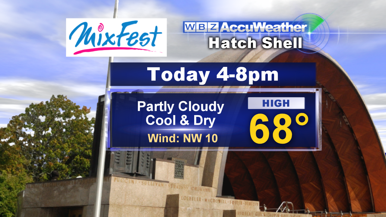 Today's weather will be cooperative for many outside activities including all of the high school and college football games. Sunshine will yield at times to a changeable sky of passing clouds with showers mainly confined to the northern mountains and western ME. It should be just fine for MixFest2013 on the Hatch Shell from 4-8 pm and The Big E in West Springfield. It will warm up to the 60s over most of western and northern New England except over the mountains with 70 degrees more common in eastern MA. As a weak trough of low pressure shifts offshore late in the day and high pressure builds in from the west-northwest, the sky will become clear this evening. Bright sunshine tomorrow morning will become filtered tomorrow afternoon as some feathery cloudiness streams in way ahead of an approaching cold front. That frontal boundary will pass southeastward across the region on Monday accompanied by some scattered showers of only light to moderate intensity. Following the frontal passage later in the day, another zone of high pressure will supply ample sunshine on Tuesday and Wednesday. There could be some residual clouds and a brisk north-northeasterly wind on Cape Cod Tuesday morning.
Looking ahead, a developing upper level low pressure circulation over the Great Lakes will slowly sink east-southeastward toward the eastern seaboard. The present timing suggests that next weekend could be showery much of the time but it is too early to be confident that the wet spell will linger through both Saturday and Sunday. This weekend is the last full weekend of astronomical summer because the autumnal equinox occurs at 4:44 pm on Sunday, September 22.
 On this date in 1944, the Great Atlantic Hurricane moved across southeastern New England with the center passing near or just south of Boston just before midnight as it was weakening into a tropical storm. It produced about a third of the damage that was created by the intense hurricane of 1938. The 75th anniversary of the historic 1938 Hurricane happens next Saturday, September 21. The Blue Hill Observatory will be hosting a very special commemorative event for this historic event. Click the link for details.
Joe Joyce posts his blog this evening and I shall return early tomorrow morning.
Have a happy and safe weekend.