Another Soaker...
Flood Watches have once again been issued from Thursday to Saturday morning...temporary street and stream flooding will be the biggest concern but the larger rivers are quite swollen and will need to be watched very closely.
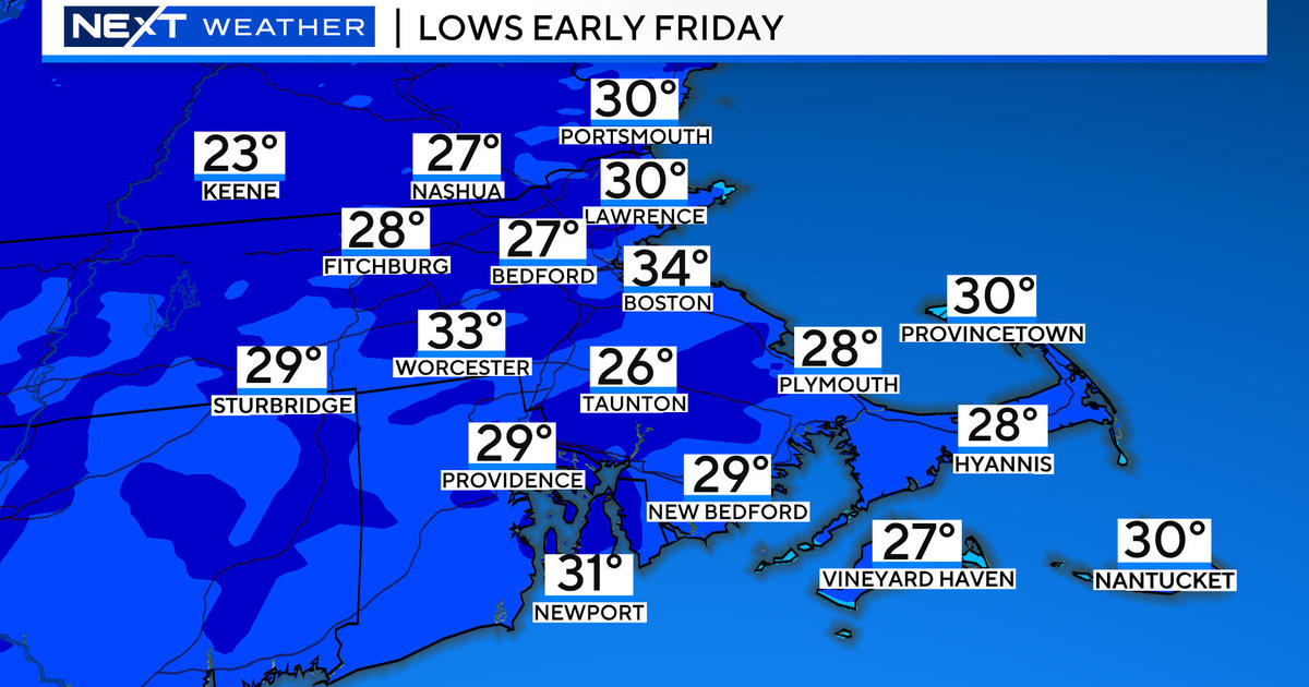
Surface low pressure is strengthening in the Midwest, driven by a potent upper level shortwave which will drive the storm to the Northeast where it will strengthen further producing intense rain over parts of New England beginning tomorrow afternoon. The heaviest of the rain will fall tomorrow night and Friday morning when the low-level jet and warm air advection peak. The storm will slowly pull away Friday afternoon and drier air will work in shutting the rain off just in time for the weekend. Along with the rain, wind will be gusty out of the northeast especially along the South Coast Thursday night and Friday morning when gusts could approach and possibly top 40 mph. This wind direction will also lead to very chilly temps...50s and lower 60s.
The timing couldn't be better for the weekend however...the storm will depart and in it's wake high pressure will settle in leading to lots of sun on both weekend days and warm temps close to 80...perfect for Father's Day Weekend!


