Nasty Storms Later?
The first round of rain is pretty much a done deal with amounts ranging from 0.2 to 0.8" according to the WBZ WeatherBug Network. There were some downpours with the only lightning over a few areas of southeastern MA and near Nantucket. This rain was generated by the approach of a warm frontal boundary which will likely be part of the catalyst in triggering an outbreak of some scattered strong to severe thunderstorms late this afternoon into the evening hours. A short wave disturbance in the upper level wind field will aid in the initiation of more convection in sun-heated air over NY this afternoon. Many parameters appear to be available for these nasty storms to propagate into Vermont and western MA by late afternoon with an east-southeastward trajectory across NH and the rest of MA into the evening. It looks like a lot of atmospheric moisture will be lingering behind the early morning showers but the strong late May sun should erode some of the cloud cover resulting in a destabilization leading to these storms maintaining strength as they rumble across the region. The Storm Prediction Center of the National Weather Service is projecting a 15% probability of damaging wind, a 15% probability of large hail and a 5% probability of a tornado within 25 miles of a point. Any of these storms is certain to contain torrential rain and dangerous lightning. With the assistance of the brightening sky and breaks of sunshine, the temperatures have a good shot of at least reaching the middle 70s this afternoon as the humidity increases. The wind will not be too noticeable mainly in the range of 10-15 mph from the southeast to south-southwest. The exception will be localized strong wind gusts associated with any bad boomers. The storms will fall apart later this evening on the South Coast and the rest of the night will be quiet and muggy with areas of fog and lows in the middle 60s.
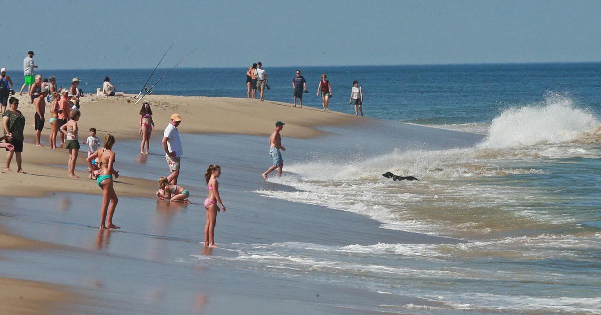
Today's rugged weather will introduce the sweltering weather which will be building into the Northeast. A ridge of high pressure at the surface and aloft will strengthen just south of the area so the temperatures will be soaring to at least 90 over at least the next three days starting tomorrow. That is the criteria for an official heat wave and it will be Boston's first since July 13-15 of 2012. The city's last day at 90 degrees was August 31 and the last day over 90 occurred way back on August 3 at 92 degrees. The record high temperatures for the last 2 days of May and the first 2 days of June are all 96 degrees and I don't expect any new records in Boston. Natural air conditioning will be found at south-facing coastal areas especially on Friday through Sunday as the wind becomes more south-southwesterly. These places will max out closer to 76-80 but the humidity will be high there like everywhere else. The ME coast especially downeast of Portland will be cooler than that. Boothbay Harbor and Bar Harbor will be perfect places for us heat haters to visit. Although there is a slight risk of a late afternoon or evening boomer each of the next 3 hot days, most of the support holds off until Sunday when an approaching vigorous cold front will create a solid swath of showers and heavy thunderstorms. They will be advancing eastward across the area Sunday afternoon and night. So Sunday might not be quite so hot as more clouds will be shutting out some sunshine and the wind will also be quite gusty as well. As the frontal boundary shifts offshore early Monday, some lingering lighter showers will give way to some developing sunshine from northwest to southeast across the region during the day. It will be less humid and cooler with highs near or just under 80. Tuesday and Wednesday will be partly sunny with just a slight risk of an afternoon shower with a busy breeze and highs in the middle 70s.
Interestingly, it has been the quietest March through May on record for the number of tornadoes nationally but there have been a few wicked ones. Today has the potential to be ugly in the Plains States with about 64 million people living in the slight risk zone and about 3 million residing in the moderate risk zone for severe thunderstorms.
Todd Gutner will provide any necessary storm coverage late this afternoon and evening and I shall return early tomorrow morning.
Make it a great day!


