Quiet Weather Ahead
After a changeable weekend highlighted by a spell of heavy rain up to 1-2" over southeastern MA and some nice sunshine in many areas for a few hours on Mother's Day, cooler air arrived last night. The temperatures will be a few degrees below the average today and close to average tomorrow with much warmer weather slated for the second half of the week. The average highs for this time of the year are 65-67. Expect highs near or slightly over 60 today then up to 63-66 tomorrow, upper 60s on Wednesday and middle to upper 70s the second half of the week.
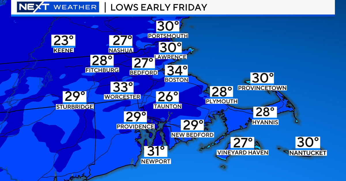
A chilly airmass arrived last night and it will govern the area through tomorrow night. The center of the high pressure associated with this will track to the south of New England but the ridge will pass overhead tonight. Consequently, the core of the cold will transit through tonight and the National Weather Service has issued a Frost Advisory for much of the area from 2am to 8am tomorrow. Protect those tender plants especially if you live in a more vulnerable low-lying location. The larger urban centers will not be a so cold tonight with lows in the upper 30s to middle 40s. Before that happens, we will enjoy a delightful day today with bright sunshine in a sky which will feature a few passing small puffy clouds later this morning and afternoon. There are lots of clouds over the Berkshires into northwestern Worcester County early this morning but a drying trend in the atmosphere suggests that many of those will disappear and only a few will form elsewhere during the day. The westerly wind will be brisk at times with gusts up to 16-28 mph. After that frosty start in places tomorrow morning, a repeat sky condition is anticipated meaning just a few clouds during the day.
Looking ahead, a warm frontal boundary will push a cargo of clouds into the region during Wednesday after a sunny start early in the day. Showers and a few thunderstorms associated with this front will arrive later in the day mainly during the evening here in eastern sections. A cold frontal boundary will quickly take over the warm front and pass offshore by daybreak on Thursday. Despite the passage of the cold frontal boundary, the air aloft will remain warm and the surface will warm up nicely as well on Thursday and Friday. Another weak cold frontal boundary will pass through Friday afternoon with little or no fanfare meaning it should remain dry. The boundary will probably stall somewhere south of the region down into the Mid-Atlantic States this weekend and we will enjoy basically sunny weather on Saturday with more cloudiness showing up on Sunday especially over southwestern New England where a couple of showers may occur that afternoon. There is no real hot weather in sight at this time. YAY!
Todd Gutner publishes his blog early this evening and I shall return early tomorrow morning.
Make it a great day!


