3 Chilly Ones
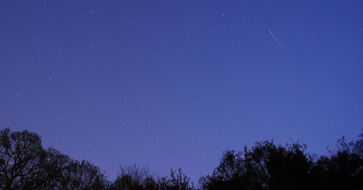
This is the first day of three chilly ones. A sprawling zone of high air pressure is strengthening as it approaches from the west. The center of the pressure system will move across southern Canada and far northern New England and it will ridge southwestward. This feature is supplying a cold, dry and stable air mass today so we'll enjoy 100% of the possible sunshine in a deep blue sky. There will only be a few clouds drying up over the northern mountains. The brisk northwesterly wind will veer to more northerly then northeast to easterly as the afternoon progresses with speeds dropping into the 8-12 mph range. After today's early morning mins in the lower to middle 30s with a few upper 20s in the lowlands well northwest of Boston, it will recover to 48-54. For the 1:35pm game at Fenway Park, it will be clear with a cool breeze and a temperature near 49. You'll need a jacket and perhaps even a heavy Red Sox sweat shirt for that game or the evening contest at 7pm when it will be down around 44 to 42 and the breeze will be more gentle. It will further cool off into the upper 30s for lows in Boston and parts of the South Shore and Cape Cod while calm conditions deeper inland enable a drop to the lower 30s and perhaps a few upper 20s again! The sky will be mainly clear for most of the night so it is an opportunity to check out the Lyrid Meteor Shower. A few wispy clouds may be arriving late tonight.
Strong high pressure centered over the Maritimes and a weak wave of low pressure developing off the North Carolina coast will serve to tighten the pressure gradient tomorrow so the east-northeasterly wind will be freshening to 15-25 mph along the coast especially the South Shore with perhaps some gusts to 30 mph on Cape Cod. There will be less inland farther and farther inland. The high cloudiness will be variable in thickness so the brightness of the sunshine will be changeable. Temperatures will not exceed the middle to upper 40s along the coast with readings near or slightly exceeding 50 deeper inland. While it's high and dry here, major to record river flooding is occurring in IN, IL, MI, IA and MO thanks to the excessive rains last week. None of that will erupt in out area but there could be a bit of rain here on Tuesday if that wave of low pressure is steered close enough to our region. This wet weather prediction has been on the zig and zag over the last several days because slight adjustments in the storm track from one forecast cycle to the next have yielded varying amounts of potential rain. The most reliable and most recent guidance is leaning toward much lighter rain or just sprinkles and nuisance showers in eastern MA. I am not highly confident of the magnitude of the rain just yet. This uncertainty should be eliminated in the next 24 hours. For now, plan on it being at least slightly wet and definitely raw on Tuesday over at least in eastern sections with temperatures not rising out of the middle to upper 40s as a cold, gusty northeast to northerly wind blows.
Looking ahead, that storm should move into the Maritimes enabling some ridging to build in for some returning sunshine later Wednesday morning. That will enable temperatures to jump to the lower to middle 60s except along the coast where a sea breeze will keep it cooler. The next approaching frontal boundary from the west will trigger a few weakening showers Wednesday night with a lower risk of any showers reforming except over southeastern MA on Thursday. After that, a potent upper level disturbance may ignite some scattered showers and thunderstorms next Friday.
Todd Gutner will post a fresh blog this evening and I shall return tomorrow morning.
Enjoy the rest of the weekend!


