Big Changes...
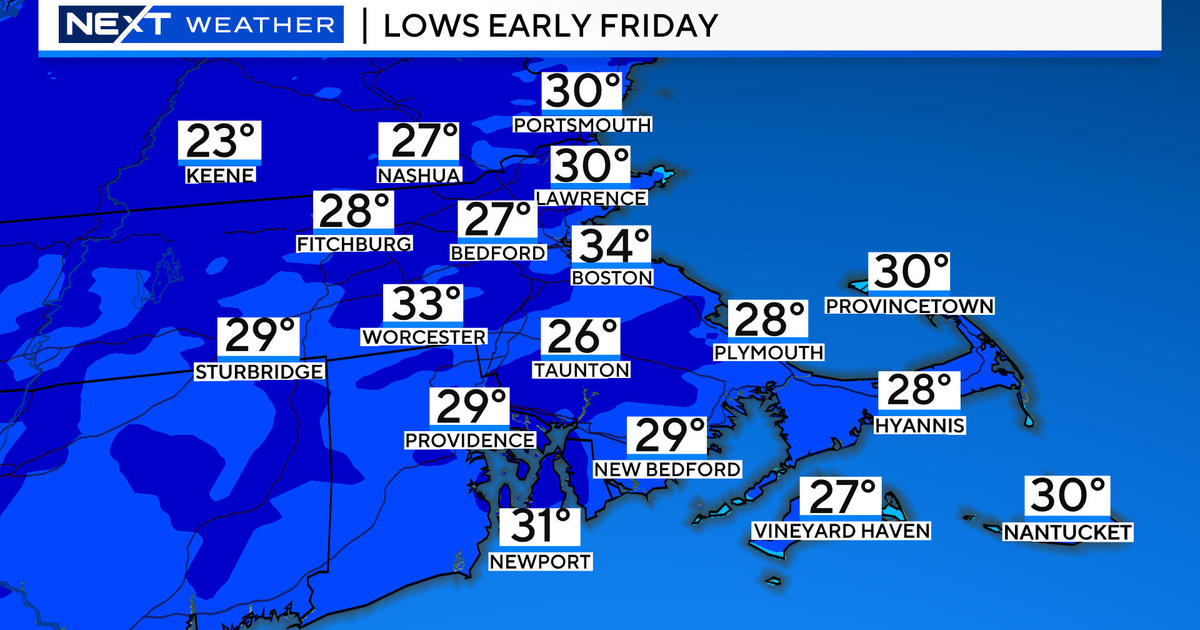
Today was the warmest day in half a year...the high was 73 degrees and it felt amazing! Sadly, it's all downhill from here as colder maritime air will invade New England now through the weekend as temperatures will fall from the 70s to the upper 30s by the end of the week. This incredible contrast in temperatures is slicing through the US right now and along that boundary lies a powerful Spring storm with all kinds of wild weather from blizzard conditions over the Plains to severe weather in the South. That storm will march across the country and arrive in New England on Friday. When it gets here it will also supply us with some wild weather...just while flowers are beginning to bloom a cold rain, mixed with some sleet and wet snowflakes will commence. The atmosphere looks to be just warm (relatively speaking) enough to preclude accumulating snow in Southern New England but parts of Northern New England and elevated areas near the NH and VT Stateline will be a different story.
The storm will exit Friday night and drier air will punch back in for the weekend leaving us with ample sunshine and warmer temps. Highs on Saturday will reach the upper 50s then a secondary coldfront slips through in the evening making Sunday bright but brisk with highs in the lower 50s.
Marathon Monday is now looking warmer with a warmfront passing through early Monday morning and SW winds will shoot temps up through the 60s and perhaps to 70. Certainly not hot but warm for the runners...at least we are expecting a tail wind to help the pace.


