Welcome to Spring...
Spring arrived this morning just after 7AM...and wasn't it such a lovely start? Harsh winds put a damper on today's mood as windchills dipped into the teens reminding us that Winter is through...not by a long shot.
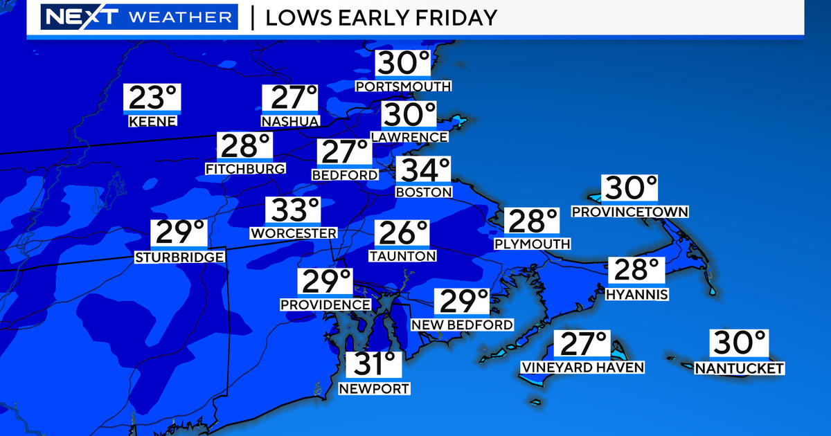
Those gusty west winds will settle down tonight and skies will clear up too this will lead to another very cold night with lows dipping into the 20s. Late tonight, a storm will be in the process of developing off the east coast of Florida as it races into the open Atlantic. This storm will morph into another beast out over the open water but the core of the storm will stay well offshore. The problem is a little piece on the north side of the storm will get energized by some mid-level lift. This will create an unstable pocket of air over Eastern and SE MA and with moisture being rerouted from out over the ocean we have a recipe for snow. These systems are notoriously tricky to forecast and can really overachieve given the perfect atmospheric set-up. As of now, a coating to 2" are likely for much of Eastern MA with locally higher amounts in SE MA...namely Buzzards Bay, the Cape and the Islands where 2-4 inches are presently expected. This will need to be followed very closely so we don't get any surprises.
The winds will howl again following this systems departure keeping temps near or below normal through the weekend. We will have a storm-free stretch though with increasing sunshine through the period.


