Another Big One...
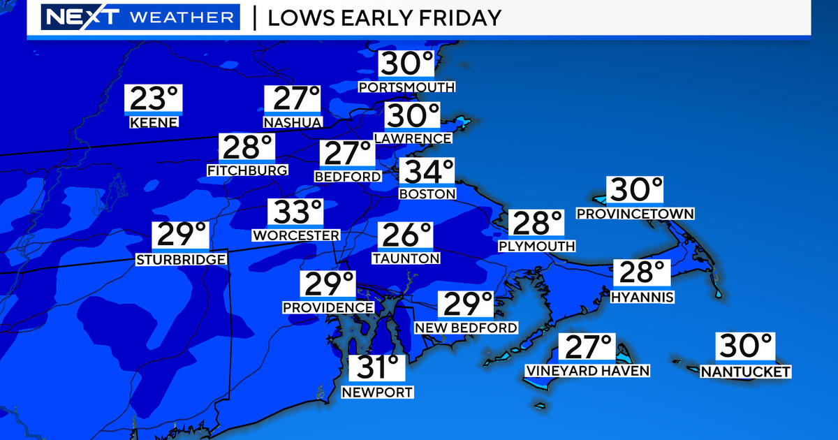
These next 24 hours will be fairly quiet and I suggest you get some errands done tomorrow as a long, drawn out late Winter storm will impact the area for the entire second half of the week.
This time of year weather systems tend to move much slower and weather patterns tend to be resistant to change...as one slow-moving storm departs another will replace it and will be slow to depart. This means that Southern New England will get battered by a powerful Nor'easter over a two days stretch. The storm will throw cold rain, wet snow, damaging wind and beach erosion our way. In the end this will be one of the more impactful storms of the entire Winter for a number of reasons.
First of all, the coast will get walloped hour after hour after hour...beach erosion will be extreme and beaches will be reconfigured especially the east facing ones like the Cape Cod National Sea Shore and Plum Island. Also, with a persistent onshore wind, large battering waves and high tides, shore roads will likely take on water and some may need to be closed off to travel. My fear is that this will be the worst aspect of the storm...areas that have been weakened and bruised countless times this Winter.
The biggest wildcard of the storm will be the snow and snow amounts. March snow isn't unheard of by any means...in fact, we average 8" over the course of the month. But this time of year, with the higher sun angle and slightly warmer exposed ground / pavement, ideal accumulating snow conditions are tougher to come by. There is plenty of precip and most of it will fall as snow but it won't accumulate like it did back in February or January. The snow will be more effective at piling up at night and in heavy bursts while during the day it will snow and snow but snow amounts won't really climb much. In the end many will see close to 6" of heavy wet snow with locally higher amounts in the hills and lower amounts near the coast and through SE MA. But because it will be falling over a two day stretch, compaction and melting will make it look different come Friday afternoon. My initial thought is that if you were to go out and measure and wipe off the snowboard every hour you'd end up with crazy high snow numbers...but that is deceptive for the reasons stated above.
There is room for change with such a complex storm so check back for updates.


