Complicated...
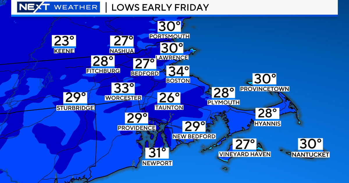
These next 24 hours are straight forward and the only problem I foresee is a little black ice later tonight from refreezing. Once again tomorrow will be mild, in fact, the warmest of the week with highs close to 50 degrees as sunshine develops in the afternoon...it will be a bit windy later in the day however.
This mild pattern will be on the way out over the weekend as a coldfront slides through on Saturday. Temps in the beginning of the day will reach the upper 30s but fall behind the front in the afternoon. Along the front we are expecting a weak area of low pressure to develop and focus a period of precip over Southern New England in the afternoon. With the cold air present, most of this will fall as snow...not a lot...2-4" inland with a couple of slushy inches closer to the coastline where the milder air will hang on longest.
The outlook for the rest of the weekend becomes more complicated as a digging jetstream will spin up a new low over the ocean that will form into a very big storm. Some information today was showing the storm developing close enough to deliver a plowable snowfall...a moderately sized Nor'easter Saturday night into Sunday. The likelihood of this happening is low but there is still a chance and it has us on edge. With so many moving parts the weekend forecast is somewhat in flux right now so please check back for important updates.


