Grazed...
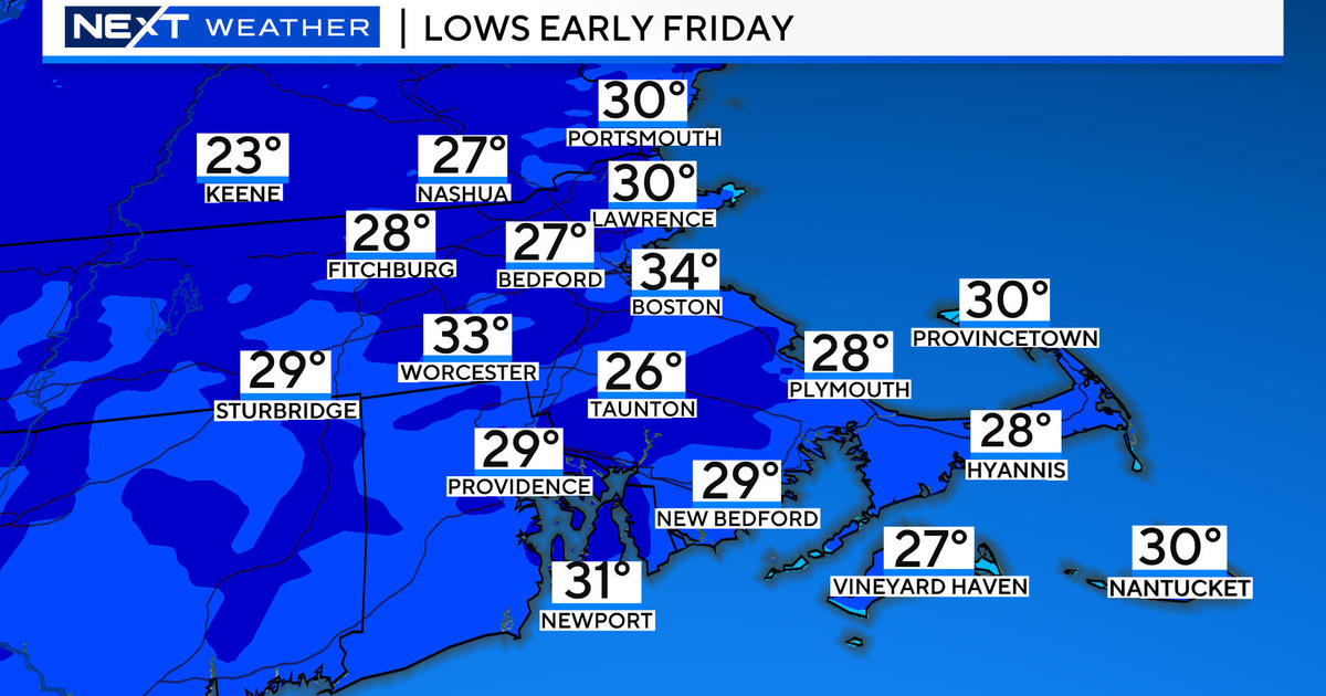
A well-defined storm system will slide south of us through the Mid-Atlantic tonight leaving us on the northern fringe of the storm where we will only see a bit of snow. After midnight, light but steady snow will break out on the South Coast and spread north up the South Shore exiting the area by dawn tomorrow morning. Amounts won't be much...just 1-3" for the South Coast and coatings up to just south of Boston...flurries for the city and points north.
The rest of Thursday and Friday are looking mild again...with highs in the 40s with fair skies.
We will be transitioning over the weekend from this mild airmass to a much colder one and usually when we get an airmass replacement it's accompanied by a storm. This time around will be no exception but where this storm sets up is not looking favorable for anything large for us. The coldfront will be sliding through on Saturday and along a wave of low pressure will develop...this will likely focus a period of snow over the region for a few hours during the day...and a few inches are possible. Following that, the front will settle offshore and intense upper level energy will spin up a large ocean storm out over the water. While there is a lot of potential with the developing storm current projections have it staying completely offshore.


