Watching For A Surprise Snowfall
It's out there! Like a detective looking for clues to crack the case...as meteorologists we are now looking for the clues to an upcoming snow event which could be a dud..or become very explosive and provide very heavy snow to a localized region of New England. It is an extremely complex set up with a high risk of a bust potential...from not much snow at all...to more snow than we were expecting. Here we will try to spell out our early thinking. This forecast will be evolving with each model run until Tuesday...where will likely be in full out nowcasting mode. Let's get to it!
An energized shortwave will be rounding a base of a trough which will be digging into the Northeast on Tuesday. By early Tuesday winds will by howling aloft with a low level jet which will be providing upper level divergence and quite a bit of lift in the atmosphere just off our coast.This trough will come with cold air at the ground and aloft which will make for an unstable atmosphere if there is any lift at the surface.
Meanwhile at the surface a weak clipper will be diving in from the Great Lakes towards PA and then off the Mid-Atlantic coast Monday night where it will become a stronger low as it merges with this upper level energy. Light snow showers may begin as early as late Monday afternoon with a steady light snow developing by Monday night. What happens by Tuesday morning still remains to be seen. How strong the low will become? How much moisture is in play? Where will the heaviest snow fall still can not be totally answered yet... but we can try to come close on this early estimate.
By Tuesday morning with a deepening low off the coast, and inverted trough will lie in place across SNE extending out from the surface low.. will act a trigger point for surface convergence. Cold NE winds wrapping around the low will tap into Atlantic moisture and wrap this into the cold air in place across the region. This air will be forced up along this boundary and could make for localized bands of intense and heavy snowfall...as it mixes with the cold unstable air aloft. The cold air will make for snow ratios close to 20"-1 inland away from the coast, so any limited amount of moisture will have the potential to turn into a plowable snowfall and pile up. Snow amounts could double what they usually would be with the same amount of moisture.
Where this inverted trough sets up and how quickly the low pulls away will ultimately determine who gets how much. It is all still very much in the air. Some of our models are light...some show a more intense hit and a stronger storm. At this point, I am leaning towards our more higher resolution models as we get closer to the event. These models are showing accumulating snows at the coast. The NAM model has been cranking out impressive amounts of snow exceeding 12" where the band sets up. While this is not by any means certain..it is something we should prepare for as these NorLun troughs can be quite tricky, explosive and have a history of dumping surprise heavy snows at the coast from ME to Cape Cod. This is the area which I would expect the heavy snow to happen again..A widespread 6-12" snowfall up and down the coast with 3-6" farther inland away from any banding. Just an early idea..
These troughs also have a history of starting in ME and backing into MA. I am not quite sure if that will happen this time...but anywhere from the Cape to ME should expect things to become heavy for a time Tuesday morning. This could become a significant storm with near white out conditions in these bands...while just a few miles down the road, snowfall will be considerably lighter. It is really hard to say which outcome will happen this far out..the lighter event or the snow storm...but I lean towards the potential for a heavy snow and a significant storm which we should continue to watch.
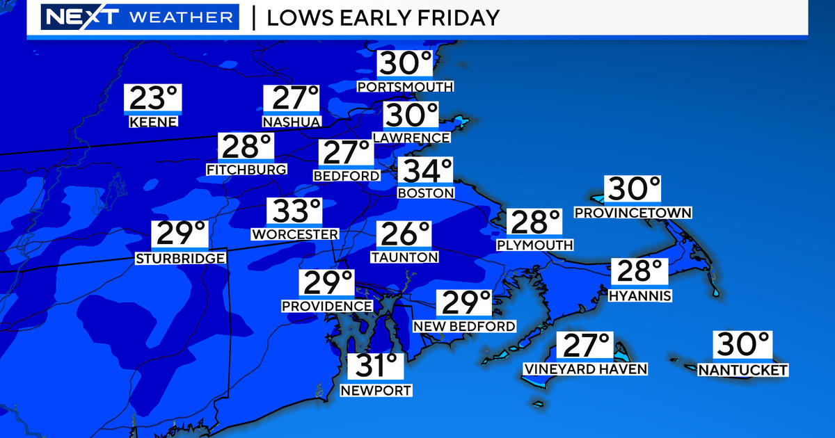
Of course we know the story, behind this low arctic air will be plunging into the region with some of the coldest air we have seen since January 2011. The stretch of arctic air will be similar to the 3 day stretch of Jan15,16,17 of 2009 where Boston did not get out of the teens. Wind chills will be below zero Tuesday night. Overnights will be downright frigid without the sun. We will be tracking the potential; for more snow by Friday...but one storm at a time. Let's get this one right first.
Barry Burbank will be in this evening to share his thinking...


