The Chill Retreats
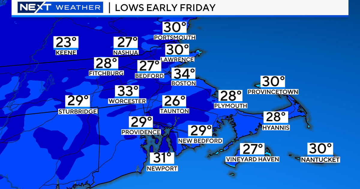
After this week's cold blast lasting 2-3 days, much milder air will be returning next week. High temperatures will be 10-15 degrees above the average for the first half of January. Meantime, much of Canada is enduring frigid arctic air. The reservoir core is placed over north central Canada and it appears that we will be vulnerable to this intense cold eventually. Pieces of the arctic air masses will occasionally bypass us to the north in the next week or two but another episode of atmospheric blocking could lead to this brutal cold weather surging from the Great Lakes into the Northeast for the last third of this month into the first part of February. Keep in mind that this is not etched in stone yet but there are some signals indicating that the odds for it verifying are increasing. So enjoy the thaw that should unfold commencing on Tuesday.
In the short-term, a warm frontal boundary and upper level disturbance will be the triggers for spotty flurries and snow showers toward early tomorrow. A few places might receive a coating to a half-inch of snow. As the culprits exit, there could be some breaks in the overcast tomorrow afternoon enabling some splashes of sunshine as temperatures rise up to near 40. The wind will be mainly light. A few more spotty flurries or snow showers may erupt across the area late tomorrow night and early Monday as a cold front passes through. It should become sunnier Monday afternoon with a brisk wind and temperatures in the lower to middle 30s. Following that, a zone of high air pressure will elongate south of the region resulting in the development of a southwesterly breeze Tuesday. That day will start cold but there will be a big warmup of more than 20 degrees during the day for max readings of the lower to middle 40s by mid-afternoon amidst brilliant sunshine. The brightness will linger through Wednesday warming the region at least to the upper 40s to lower 50s. The next cold front will be surging into the area on Thursday with passing patches of clouds and a gusty shifting wind with highs in the middle 40s. Meantime, a new storm system will blossom over Texas and track northeastward into the Great Lakes. This inside track promises another surge of warmth in the eastern seaboard and a rain maker for the Northeast later Friday and Friday night. Colder air will sweep in from the west later Saturday leading to the next storm approaching closer to the region with rain later next weekend.
For the skiers and snowboarders, conditions are fantastic with packed powder the dominant primary surface. It has been cold enough for many of the resorts to continue making snow mainly during the off-hours but it would be great to receive another dumping of heavy snow. Some of the steeper glades have thin cover and in need of 1-2 feet of fresh powder. Ski and snowboards in high traffic areas will chew up the trails so the very best conditions daily happen early in the day. The northern mountains will gather some snow showers with up to a few inches of fresh snow in some places late tonight through tomorrow night. Dress appropriately for temperatures in the 20s tomorrow and a warmup the middle of next week. Take a few runs for me please.
Joe Joyce will deliver his latest WBZ AccuWeather Forecast in the morning and I shall return later in the day. Enjoy the rest of the weekend.


