Unleash the Hounds of Winter!
How do you like the sound of that title? Well, I have to be honest...that is what it is going to feel like after this fairly tranquil December...the cold arctic air will become more involved in an active storm track and we have several chances of snow which will eventually lead into a very cold start to the new year. So let's get to it!
CHECK: Current Conditions | Interactive Radar | Watches & Warnings | WBZ Weather Blogs
We are starting with plenty of clouds this morning and scattered light mixed precipitation in the form of spotty light shower or snow showers associated with one weak piece of energy rotating through this morning. An area of low pressure just over the Canadian border will begin to lift north and pull away. As it does, cooler drier air will begin to funnel in during the afternoon. There is the chance this cloud deck will begin to break for some breaks of afternoon sun. Highs will remain in the 30's and lwr 40's along the south coast.
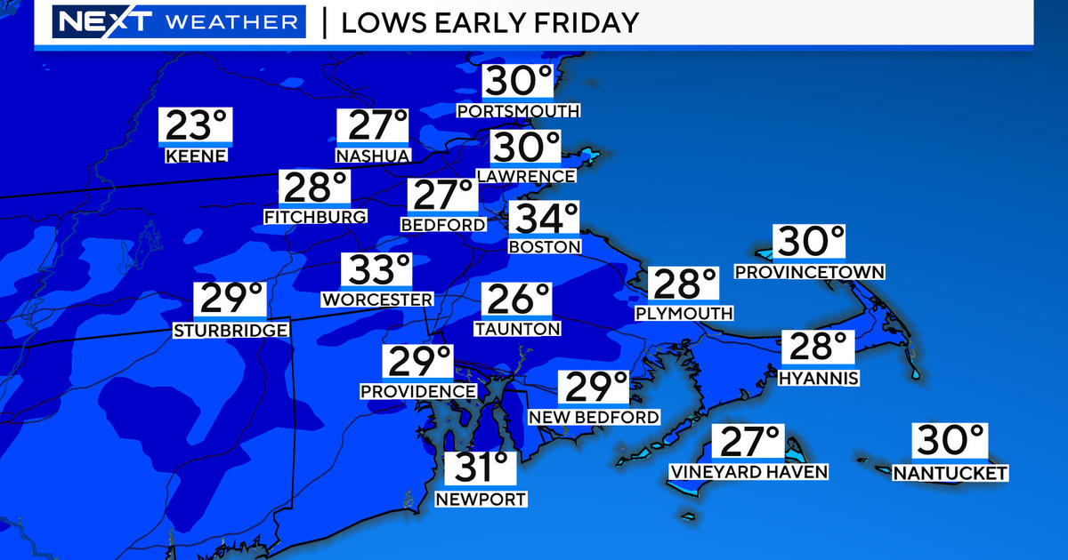
A wind advisory is in place across SNE from 1 PM to 11 PM for gusty winds to wrap in behind this departing low from the West. Wind gust to 40-45 mph will happen into the evening with clearing skies and temperatures dropping with a rush of colder air settling in for the evening. Temps will drop into the lwr-mid 20's overnight with blustery winds which will diminish slightly overnight.
Sunday will be a brighter, brisk day with sunny to partly sunny skies, breezy west winds and highs in the 30's near 40. Seasonal for this time of year. The dry cool and bright weather will continue into Monday before our holiday snow maker!
Yes indeed! While some of us may be tracking Santa...meteorologists and snow lovers will be watching a weak wave of low pressure heading towards West Virginia Christmas eve and then moving through the mid Atlantic states and tracking south of New England Christmas day. The northern shield of precip will be pushing through SNE. The snow will likely start after midnight on Christmas eve. By Christmas morning, it will be snowing steadily and likely continue all day! The models have come in with more moisture this morning with this wave so this increases the chances for a plowable snowfall. Most of the precipitation should be snow with maybe some mixing issues at the south coast towards the Cape. At this point it looks like a widespread 2-4 snowfall across SNE, lesser amounts at the coast. It is still far enough away, that this could change...so it is a cautious optimism. But today, it looks like the kids may be waking to a winter wonderland which would be just marvelous! I really hope the forecast remains steady as she goes.
That is wave #1. Just as quickly as the snow ends on Christmas, we will be turning our attention to wave #2 which is likely to be a much stronger storm having more serious impacts, especially for travel. It will be important to stay tuned to the forecasts through all of these changes which will continue in the days ahead. This next wave will take a similar track through the mid atlantic and south of New England, but will have more energy to work with. Luckily it will be another quick mover. There are a few concerns about ptype or mixing with rain depending upon the overall track of the low. The snow/rain will develop as early as Wednesday afternoon...the day after Christmas! A snow rain line may try to push up into SE MA towards Providence...which would mean rain at the coast. Where it would remain all snow farther inland the snow has the potential to pile up with up to 6-12" away from the coast...as the snow will continue into Thursday. The storm will deepen south of us and wrap in strong ENE winds Wednesday night- early Thursday morning where wind could gust to 50 mph at the coast. Winds will be shifting back to NW as storm pulls away. Heaviest snow appears to fall in western, central MA and SNH at this point...but still waaaay early in the game for any real certainty. I am just giving out warning shots right now to what we are dealing with.
Another shot of cold, with the potential for another storm somewhere around December 30th...but it is impossible to know how that will play out this far away. It is all part of a giant break down to a mild pattern which will bring us full bore into a cold arctic set up to start the month of January. This season's story has just begun. Release the hounds!


