Winter Starts Wet & Windy...But Signs of Cold & Snow Ahead
Temperatures were cold enough overnight in Northern & Central New England to support a few inches of snow in many areas. Places like Gardner, Shelburne and Northampton reported between 2-2.5" of snow early this morning. Temperatures have been warming with SSE winds, with almost everyone well above freezing so there are no problems with travel yet...but that will quickly change today...not only on the roads, but also at the airports.
A storm system which brought heavy snow and near blizzard conditions in the midwest is now over the Great Lakes. A secondary low is forming over eastern PA and will be shifting into Upstate NY as the whole system begins to occlude over us around lunchtime. Heavy Rain will be pushing from west to east this morning. The peak of the heavy rain will be in western New England this morning and be in place across Eastern MA and NH around noon through early afternoon. The heavy rain will produce about an 1" in most locations, enough to produce a little localized street flooding in the brief downpours...with maybe even an embedded thunderstorm. This intense line of rain and wind will be like a squall line that pushes through in summer time. It will come with some pretty intense weather briefly...and then it will be gone just in time for the evening commute.
A strong low level jet (70+ kts) at about 5,000 feet over our heads will be helping to direct the heavy rain through the region during the afternoon. In the downpours, some of these strong winds aloft may be able to mix down to the ground. A high wind warning is in place for the Cape and the islands through 4 PM for gust over 50 mph which would be strong enough to topple trees or create scattered power outages. Winds coud gust over 40 inland. SE winds downsloping over the Green mountains of VT may produce some damaging winds on the western facing slopes. Either way, it will be a brief window between 10 AM to 3 PM where it will become a wind driven rain. The rain and wind will shift up into ME for the evening hours.
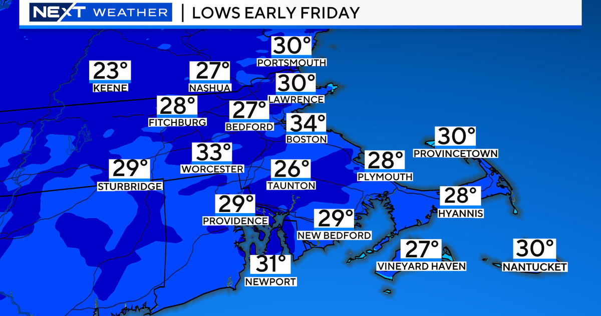
The low over upstate NY will continue to weaken and lift up into Canada. W winds wrapping around the low will shift in for the weekend and direct colder air in from Canada. An upper Level low will remain directly over us Saturday, keeping the clouds firmly locked in place. Upsloping mountain snow showers will persist. Elsewhere, maybe a stray sprinkle or shower with highs in the Lwr 40's in Eastern MA with mostly cloudy skies. Clouds will continue to break apart Saturday night with drier air on the move. Lows will drop into the 20's. Sunday will be a much colder, but brighter day. Sunny to partly sunny skies with highs in the mid-upper 30's at the coast. Breezy winds from the west will add a bite to the air. Weak high pressure remains in place Monday with sunshine and seasonally cool temps in the mid 30's
Guess what? We still may have a chance of a White Christmas! At least the chance of snowflakes flying in the air. On Tuesday morning we will be watching a weak wave of low pressure shift tracking through the mid Atlantic states. The northern fringe of precipitation from this low could come close enough to SNE to spread in a light accumulation of snowfall for Christmas morning. How awesome would that be? If the high gets a bit stronger north of the low it could shift the band south of us...so we miss it...but right now...our chances for snow are looking up for Christmas day.
A stronger, more potent storm system will follow up for the 26th-28th. Today, it appears the precipitation will develop late Wednesday night and continue through Thursday. There may be a few ptype issues to deal with as the Euro brings in warmer air and more rain into SNE, with the GFS being the colder snowier solution all depending upon the track the low takes...which is highly uncertain this far out. We are pretty confident that this storm will provide our best chance of accumulating snow that we have seen in a while...especially looking at the colder GFS scenario. If this solution verifies we could be looking at a pretty good snow storm! We'll see.
So if you have been wondering about this winter, many people have...The good news it is just getting started! Happy first day of winter! Next week will be a colder week with a few chances of snow. Looking farther down the road...colder air from Canada will continue to push farther south for a very cold start to January. While the winter weather has been a bit delayed, there are plenty of signals which are looking good for winter & snow lovers in the weeks to come. get ready to bundle up!


