Changes on the Way...
That was a special day…after the morning started out cold with all suburbs dipping down to the 40s and even some 30s, we saw a healthy rebound to the lower and middle 70s. With SW flow continuing, temps will once again climb back into the 70s but with, unfortunately, limited sunshine.
Warmer air surging in aloft will create clouds and enough overrunning to produce scattered showers tomorrow morning…most of the forcing will stay to the NW of Boston where the showers will be most numerous but a few will stray south through Boston and beyond. Rainfall will be quite sparse with just a few hundredths of an inch and barely getting wet in some towns. Later in the day and evening, a coldfront will sag down from the north…this will provide enough additional lift to produce more widespread shower activity. I am also keeping an eye on a mid-level shortwave that is going to attempt to spin up a weak low along the front as it passes through Southern New England. If it succeeds, then we could see a slightly extended period of rain later tomorrow evening.
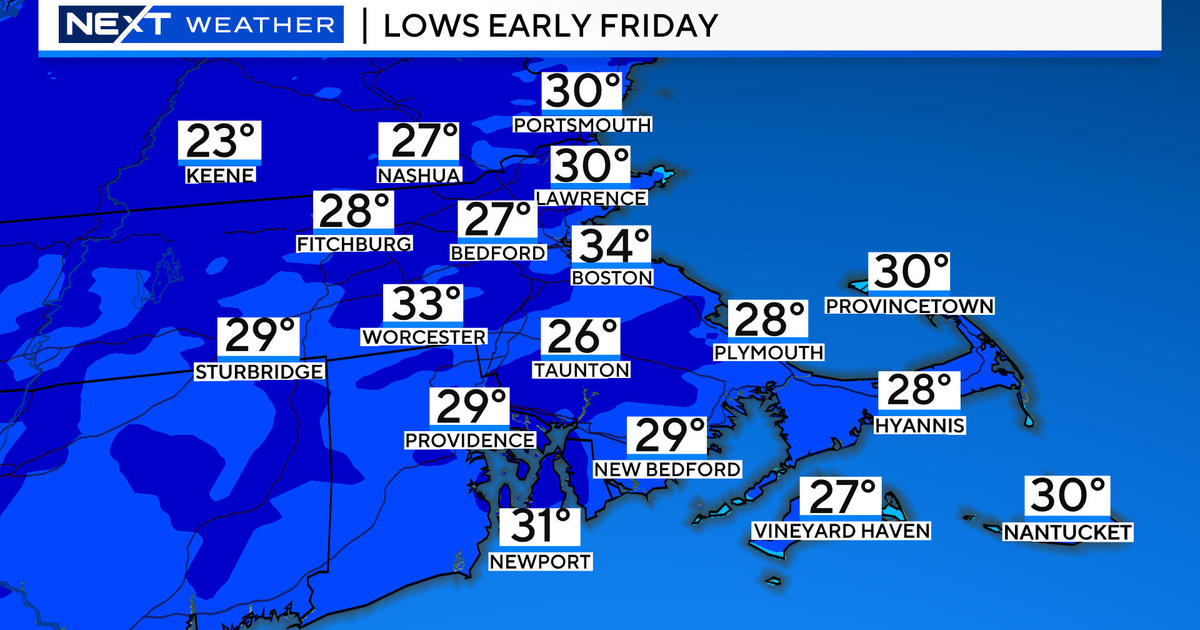
The entire front will be safely offshore by Thursday morning and sunshine will be prevalent again. The air will have changed however, back to a chilly feel with morning lows in the 40s and highs in the 60s..a true Autumn feel behind that surface coldfront.
That front won't get too far south of us, settling just offshore and draped back through the Ohio Valley where another low will be forming along it very early Friday morning. That low will ripple along the front sending moisture into the Northeast. We will be on the cooler side of the front with NE winds taking over…this will lock temps in the lower 60s and supply additional moisture from the Atlantic. With moisture squeezing us from both directions, cool, raw and wet conditions are inevitable by midday if not sooner on Friday.
The weekend still isn't looking great as a trough will be digging into the Northeast from Eastern Canada. The trough axis appears like it will set up to our west sending a plume of warmth and moisture up the Eastern Seaboard. Before the surface warmth gets to us, it will get cut-off as we will be locked in with raw NE flow and temps in the lower 60s. The temperature gradient will be greatest just offshore and storm systems love temperature gradients thus offshore surface lows will be generated…accompanied by waves of rain. This sounds awful, I know, but the weekend isn't a complete loss yet. The offshore surface lows may form pretty far out there keeping the steadiest and heaviest rain over the ocean leaving us with cloudy, cool and damp conditions with occasional showers. Keep your fingers crossed for the later scenario!


