Day Two...
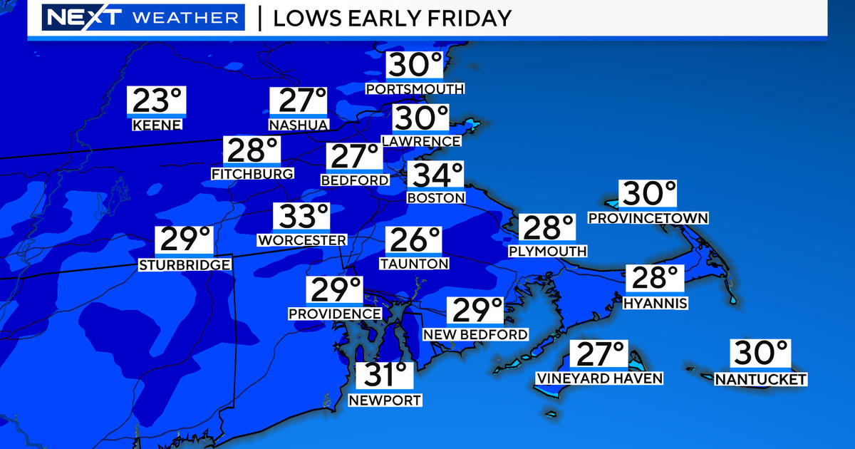
Many towns climbed to 90 or above today including Boston, Groton, Revere and Arlington...for most towns in the Merrimack Valley this was day two of an extended heatwave. High clouds and southerly winds precluded temps from getting to 90 degrees for most towns south of the Mass Pike.
I see high clouds limiting the sun for the first half of tomorrow as well...an upper level disturbance will blow through by early afternoon on Saturday following that the sun will come bursting out and temps will soar again into the lower 90s. There is potential for upper 90s in this atmospheric make-up but I feel the high clouds will prevent us from achieving those lofty levels so look for highs in the lower 90s in Boston, mid 90s to the NW of Boston and 80s SE. The humidity will be pretty uncomfortable with dewpoints in the 60s as well. Heights fall a bit Sunday afternoon as a shortwave dives in from the west. This will provide a trigger for scattered, slow-moving thunderstorms to develop...we could all use the rain but not every town will get one.
The ridge will hold firm into the middle of next week so the heat will continue with highs of 90 or better making it a 7 day heatwave for some. An upper level vortex, and it's associated cooler air, in Eastern Canada will spin south toward the US border. This will send a potent coldfront through Wednesday evening effectively breaking the heat and humidity so the end of next week looks sunny and very comfortable with highs back in the 80s.


