Roller Coaster Ride
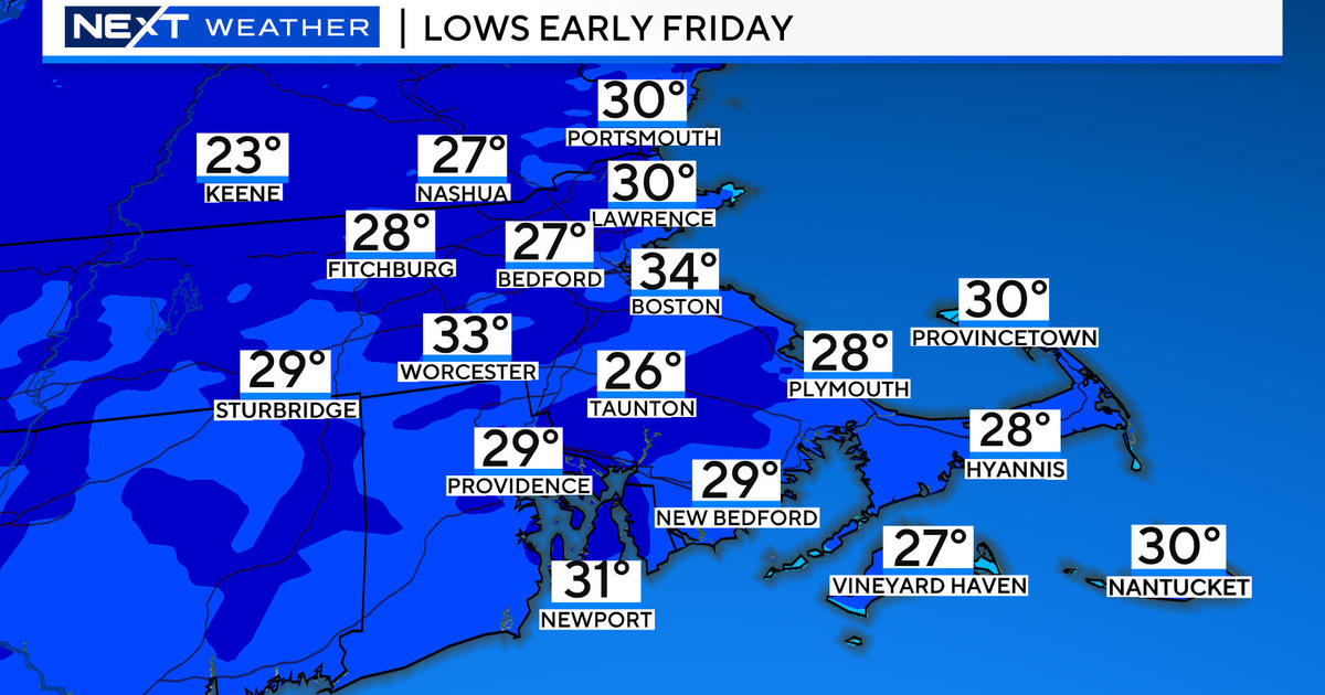
Four out of the first six days of this month have featured colder than average weather which is certainly unusual for this winter. Today, however, the temperatures jumped 20-25 degrees higher than yesterday with maximums in the upper 50s to lower 60s except over Cape Cod. Boston's 62 degrees was recorded at 3:31pm. Most signs point to above to much above average temperatures for the next two weeks. There will be one cold shot this Saturday and possibly a couple other "cool" days along the way and that's it. As time ticks away, I am wondering if 2011-12 is going to end up as the 2nd least snowy season in the Boston area. Don't discount April just yet but the present pattern would have to morph into a very blocky setup and that seems to be out of reach at this juncture. Anyway, there have been a handful of very memorable blockbuster snow storms which were forecast triumphs for me here at WBZ-TV. My hat trick is comprised of the paralyzing storms of March 31-April 1, 1997 and April 6-7, 1982 and April 28-29, 1987. Do you remember any of these beasts?
The current surge of warmth into the Northeast will continue through most of tomorrow. It will stay mild all night as the southwesterly breeze blows under a sky displaying the Full Worm Moon. The moon will be occasionally dimmed by the passage of varying amounts of high cloudiness. This will linger into tomorrow resulting in filtered to dim sunshine at times. Between an approaching cold front and a strong zone of high pressure offshore, a tight gradient will produce a gusty southwesterly wind of 15-35 mph with some gusts to 45-50 mph. Consequently, the National Weather Service Forecast Office in Taunton has issued a Wind Advisory from 9AM tomorrow to 2AM Friday. The trajectory of air across the Atlantic Ocean onto the New England South Coast and Cape Cod will restrict temperatures from rising much above 50-54 while the rest of the area warms up to the upper 50s to upper 60s. There should be some near record high temperatures. Boston's March 8 record of 67 set in 1995 will be challenged but probably not eclipsed. I am projecting about 66 for much of the Boston area northwestward into Middlesex County. There will be an almost solid or slightly broken band of showers associated with the cold front and that will transit east-southeastward across the region later tomorrow afternoon into the night. The band should be offshore except perhaps the outer Cape by dawn Friday and cooler air will be rushing in on a westerly wind. With some sunshine, temperatures will max out in the range of 43-48 Friday. An upper level disturbance and second cold front will pass through Friday night with some spotty snow showers most noticeable across the mountains of northern and western New England. After the passage, cold air from eastern Canada will pile in on Saturday with highs failing to reach 40. There will be ample sunshine with a diminishing wind in the morning as high pressure ridges overhead. This ridge will build offshore and send the warmth right back to us on Sunday and Monday. Expect a return of 55-60 on Sunday and 60-65 next Monday. A few showers Monday night may be followed by a more widespread steadier rainfall a week from today.
Melissa Mack delivers her AccuWeather Forecast in the morning and I shall follow later in the day.
Make it a great Thursday!


