Dumbfounded
Yes, that's what I am this morning- dumbfounded. Why? Well, all week the most reliable forecast model had consistently projected the upcoming storm only sideswiping some light snow over Cape Cod with some ocean-effect snow showers over the rest of the coastal plain. Now, its latest output is a 180. Yes, it is advertising a significant nor'easter for Sunday night and Monday. Despite my faith in its superior physics and mathematics, this latest Euro model run could be an aberration so I am not pulling out the stops just yet. If the Euro releases similar solutions in the next 2-3 forecast cycles, my confidence would be restored. It may have already latched onto a plausible scenario based upon higher latitude blocking, a reconfiguration of the jet stream amidst phasing of imbedded parcels of energy. Undoubtedly, this pattern is favorable for bombogenesis. The trick is determining the location of the initial and mature stages. Earlier Euro runs depicted a monstrous storm offshore but it now has the beast tucked much closer to Cape Cod. This path would produce rain there and maybe a mix on the South Shore with more than a foot of snow and some sleet most other places! Simultaneously, the other mathematical models which were zigging and zagging all week are all sending the storm far out to sea. The reality is that there remains a high degree of uncertainty which, hopefully, will all be resolved in the next 36-48 hours. It will be mighty interesting to see how this is all going to shake out.
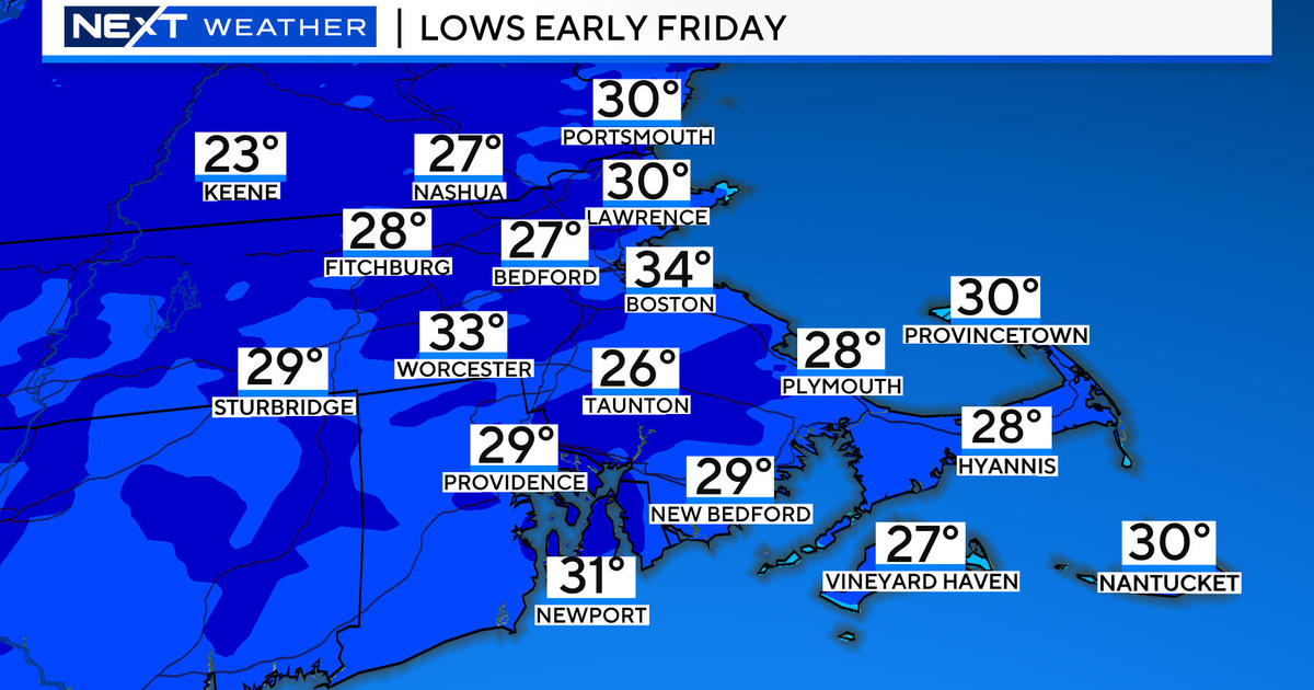
In the meantime, after yesterday's lower 20s chilled by gusty winds, there will be a recovery to near 30 degrees with just a breeze today. Sunshine will be much more prevalent but patches of migrating clouds are still possible. There will be no feather dustings of snow as most flurries are confined to the Berkshires and the northern mountains. A weak storm will release a swath of wintery precipitation from the Ohio Valley to the Mid-Atlantic States as the day progresses. The northern fringe of its cloud shield will stream up over southern New England tonight with the risk of an hour or two of snow showers on Cape Cod after midnight. This feature shifts eastward leaving us in a decent supply of sunshine without much wind tomorrow and Saturday with highs in the range of 34-48 degrees. Thereafter, some cloudiness will be increasing Sunday morning with a risk of some snow later in the afternoon. The rest of the forecast is dependent upon the precise path of the developing storm. As the Patriots host the Packers Sunday evening, it will be near 30 degrees and it could be snowing.
Once I have digested fresh incoming data later this morning and early afternoon, I will post my midday musings around 2pm.
Make it a great day!


